Seeking to do another activity, I figured to test my car to prepare for a multi-day peak bag. To try some dirt roads, I choose to do Fairview Mountain. It has a road to the top, so rescue would be easy. The hike then would be less dangerous.
Motoring off by about 11:30 a.m., I had my big day pack. Zooming east on U. S. 50, I shortly came to the signed Earthquake Fault road. Important to not get any damage to my car, or problems, I took the dirt road slowly. Some other cars were on the road, and asking them, they said it should be okay.
Going slowly, I came to the turnoff for the Earthquake Fault. About 3 miles in, I took it, thinking it was the road to the top. Parking as it got rough, I took my pack to do the peak. The road continued to a dirt parking lot, and there was a trail that I took up. Coming to mud, my foot slipped out from under me. I didn’t fall, being an experienced hiker, so managed to get by the muddy spots. The trail looks to end by the fault, some 6 feet high. There was a fallen tree, still fresh. I took photos and video as I turned back.
This wasn’t the road to the top, and I had taken time. Motoring back to the main road, my navigator indicated that it was a half mile further. Motoring slowly up, my phone told me where it was. An unsigned road goes to the top, but there was plenty of new snow. It was almost 3 p.m., so I decided to come back to bag it later.
I advised motorists on the slippery, muddy trail, and then got back to U. S. 50. Too early in the day to head home, I made a few stops, one at a historic marker, and also at the sign for Sand Mountain. After more stops for photos, I did a search for Rainbow Mountain. Directions were better on Google Maps, so I took the dirt road indicated.
This road was better, and even had a highway number. My navigator told me where to go, and after a short while I was there. Parking, a dirt road led up to the range, and I saw an interesting looking hill. With different red rock and white rock, I hiked to it to collect some pretty rocks. The dirt road led to the hill, and I hiked up the steep road to the top. I could have placed a register, but there were no big rocks to weigh it down.
Doing a summit twirl, I wouldn’t count this as a peak. Too easy, and there was a higher hill to the south. Hiking back down, I grabbed a small rock as souvenir. No really pretty rocks as I had seen on the Net, for Wonderstone Mountain. That name didn’t have any results on a Map search, so I then saw Rainbow Mountain.
As I drove out, some people came by, and speaking with the guy, he said he was going to get some red dirt, as it had no weeds. For his yard, I told him that with 20 year weed fabric, with sand or crushed rock over it, I had no weeds.
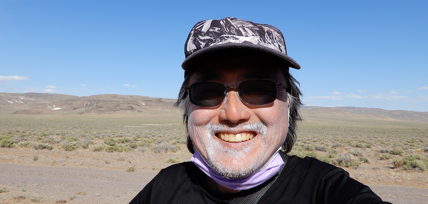
Back to U.S. 50, it was to motor back home. I did only a few miles, as my Watch read the slow, dirt road driving as hiking. So, with no valid stats, I’d estimate some 2-3 miles hiked. Maybe 500 feet of gain.
Capturing some movie clips 896.1 MB (06:00), I had data from three cameras. To my computer, I did the downloads. I had forgotten to insert and format a memory card for my forward dash cam, so no videos there.
My car did fine, and I filled up with gas at 2.129. Ready for another road trip/peak bag, as usual, there is nobody to come along.
BACK TO PETE'S THOUSAND PEAKS HOME PAGE